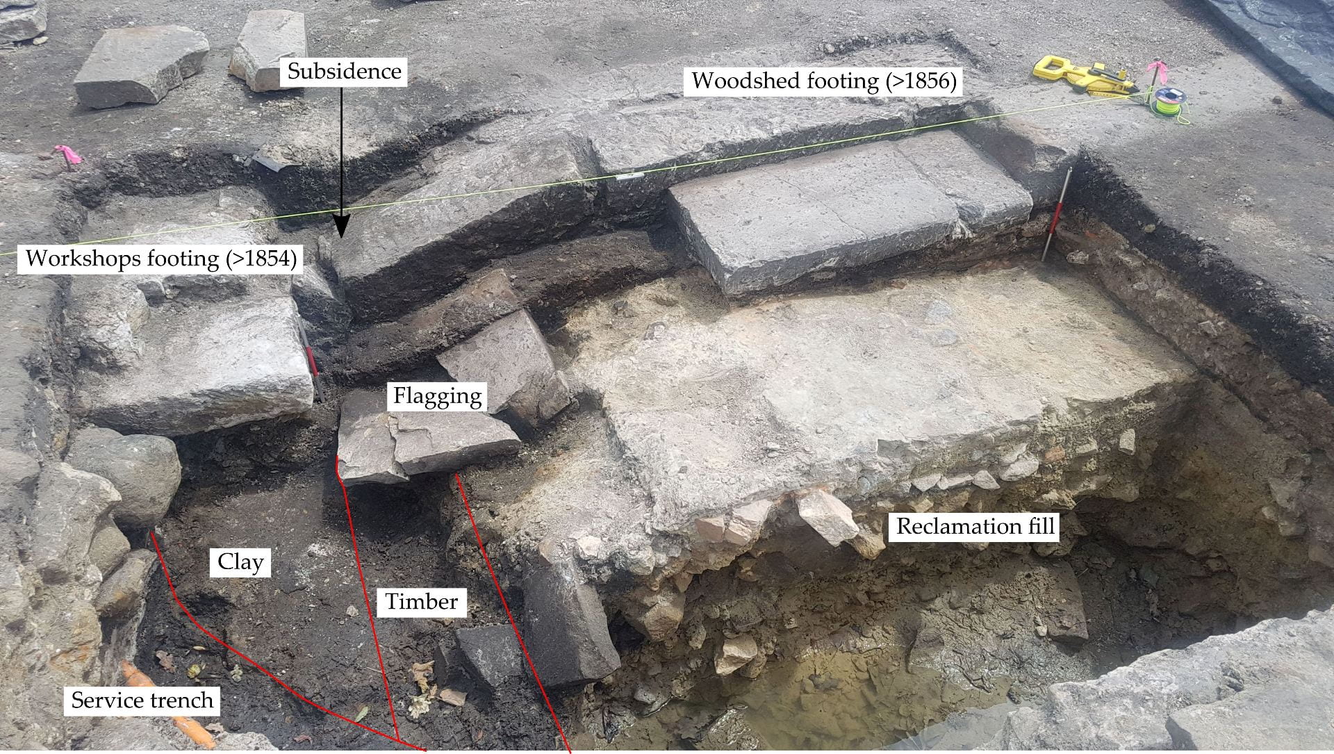
Another windy week of digging has trundled by, during which your fabulous archaeologists have inched their way closer to glorious triumph. This week, most of the accolades fall upon the waterfront trench, where Sylvana has heroically and selflessly uncovered more definitive evidence of the sequence of development. It’s a very confused sequence, replete with cuts-upon-cuts and strange deposits. At its most basic, which is how we like to operate here, we are looking at the full range of Port Arthur’s post-1830 history in this one trench. A splodge of clay and a rotted length of timber represent the likely line of the 1830s waterfront, as shown in this plan here. You can see the log reclamation below the workshops waterfront (north) footing – this is what we think we have found.
Unraveling the puzzle of the waterfront. It’s not quite Tomb Raider, but we like it
Soon after 1836, they filled in the front of the workshops with sandstone quarry waste, which was then topped with silts and construction waste from activity during the 1840s. The construction of the workshops from ca.1854 appears to have resulted in the addition of new sandstone footings, sandstone flagging and surfaces. At some point, post-1877, the rotting of the timber has caused a section of the wood shed footings to subside. That’s the story and we’re sticking to it.

For some reason my camera decided to take all photos in soft focus. It’s really quite romantic
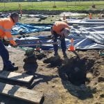
My gravel pit has now turned into a posthole free-for-all. Differential drying after some heavy rain showed a series of postholes cut into the yard (making for about eight in total). Postholes are fun enough, but you soon get sick of them. Each necessitates at least three context sheets being filled out: one for the original cut, one for the in situ post (generally rotted in situ) and one for the packing fill. A lot of the time an additional context is required to represent the post being pulled out and the resulting void being filled with topsoil/silt/any old crap. To dig each posthole, you half-section them (to see the profile within the cut), record it, take out the unexcavated half, survey in the top, base and profile of the cut, then photograph the end result. You do this for each posthole – which quickly consumes your day. I am still unsure if the postholes I excavated related to the late convict period (and potentially relate to supports for the crane), or were post-convict. Each had post-convict period artefacts (wire-drawn nails, brown bottle glass, pokemon), but that could be because the posts were removed during the salvage – with the artefacts being deposited in the resulting void. Anyway, the fun continues.
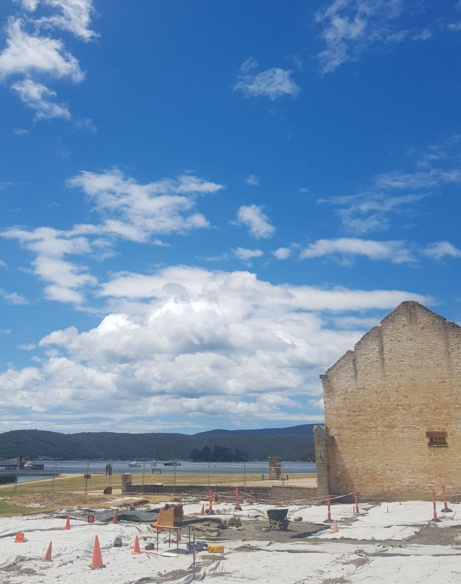
Nice photo, when it was not windy and cold and overcast