Survey brings out strong contradictory feelings within me. On the one hand, my favourite task during an excavation or archaeological survey is capturing the composition of archaeological sites and features graphically in 3D. So much information. So much power. On the other, I just know that when I lift the Total Station out of its big red box and screw it onto its tripod, there is going to be some small hitch that is going to send me obsessively insane for days until I fix it. This year did not disappoint.
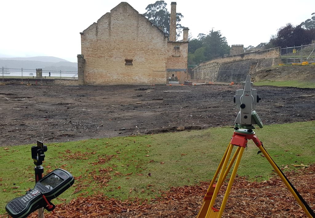
Archaeologists use all manner of tools to record sites: from the tried-and-tested permatrace and 6H pencil, to spiffy 3D photogrammetry models. Different methods have different levels of accuracy and rapidity of capture depending on the required task. One thing we’ve come to rely on upon during the last 10 years of work is the Total Station. This allows us to capture accurately and quickly the features, deposits and finds that comprise sites. During the big 2016 excavations of the Penitentiary ablutions and laundry areas we used a Total Station linked to a CAD (Computer Aided Design) program. As we surveyed, the lines and points were transferred directly to CAD in 3D. Footings, surfaces, postholes, drains and thousands of artefacts were recorded in 3D space, which helped us discern how spaces were used and what they were used for.
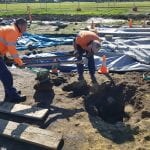
Survey: archaeology style (wet, cold and it looks like the machines are not talking to each other)
This year we’ve upped the ante and are using UNE’s fancy new robotic total station.* This can be used by one person, which greatly increases the level of efficiency when there are only five diggers (and a Supervisor standing around looking confused/tired/grumpy). As we survey, the Total Station talks to the handheld unit, drawing in real-time all the lines, shapes and points that represent our site. It’s like magic for nerds.
This all sounds great doesn’t it? But this is where the Port Arthur gremlin steps in. During 2016 our Total Station developed a fault with its internal mirror, which decided that it would stick every 20 shots or so. It took weeks to diagnose what was happening to the survey – and then weeks to get it fixed. We thought we could outsmart the gremlin this year with our shiny new machine, but as soon as we started laying out the site control markers last week, we started getting continual height errors. Having learnt from the 2016 fun and games, we ran through all the checks you have to do – instrument and pole heights, prism constants, the correct prayers to the machine spirit – but to no avail. This, however, is where it turns out that archaeologists playing at survey are no replacement for real surveyors. Thanks to the patience of Richard and Nicole, from CR Kennedy who provided the survey gear in the first place, we worked out there were internal checks and calibrations you could run. Which we did. No more errors.
So, what’s the moral in all this? Should there be one? One take-away is that survey on an archaeology site is brilliant: accurate, fast and lugging the gear around makes you look like a pro. However, be prepared for lots of troubleshooting when things go pear-shaped – or just get yourself some patient experts.
*For those who care about these things, it’s a Leica TS16 with a CS20 handheld controller