Having mostly recovered from exposure to the nation last week, we’ve been getting stuck into the foundry. Well, we started to get stuck in. As you learnt from the very informative video last week, the whole foundry space has been gridded into 1m x 1m squares. This will allow us to recover soil samples (and artefacts) with a high degree of accuracy. This will in turn allow us to map artefact and metal-impregnated distributions and get some idea about what was going on in the foundry space and where (we only have one sparsely-detailed internal plan of the building and may not even reflect reality).
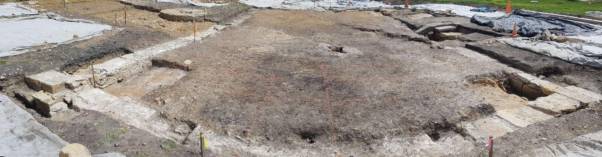
A photograph showing the site and all the triplines we have set up
As we started to excavate in the western area of the site (if you look here, its the left-hand area with the yellowish silt) we discovered that the silt was capping further deposits of charcoal, fine grey sand and clays – the likely foundry floor. This is supported by the presence of iron and copper offcuts, nails and ‘blobs’ across it. The silt also had definite post-convict artefacts throughout – including a 1930s penny and a 1933 badge with ‘Tour of Tasmania’ embossed on it. We’ve now had to spend the week removing the silt, which has amounted to a lot of excavation. This has certainly added to the workload and set us back – but it does mean that we have a seemingly intact series of deposits below which relate to the foundry’s use.
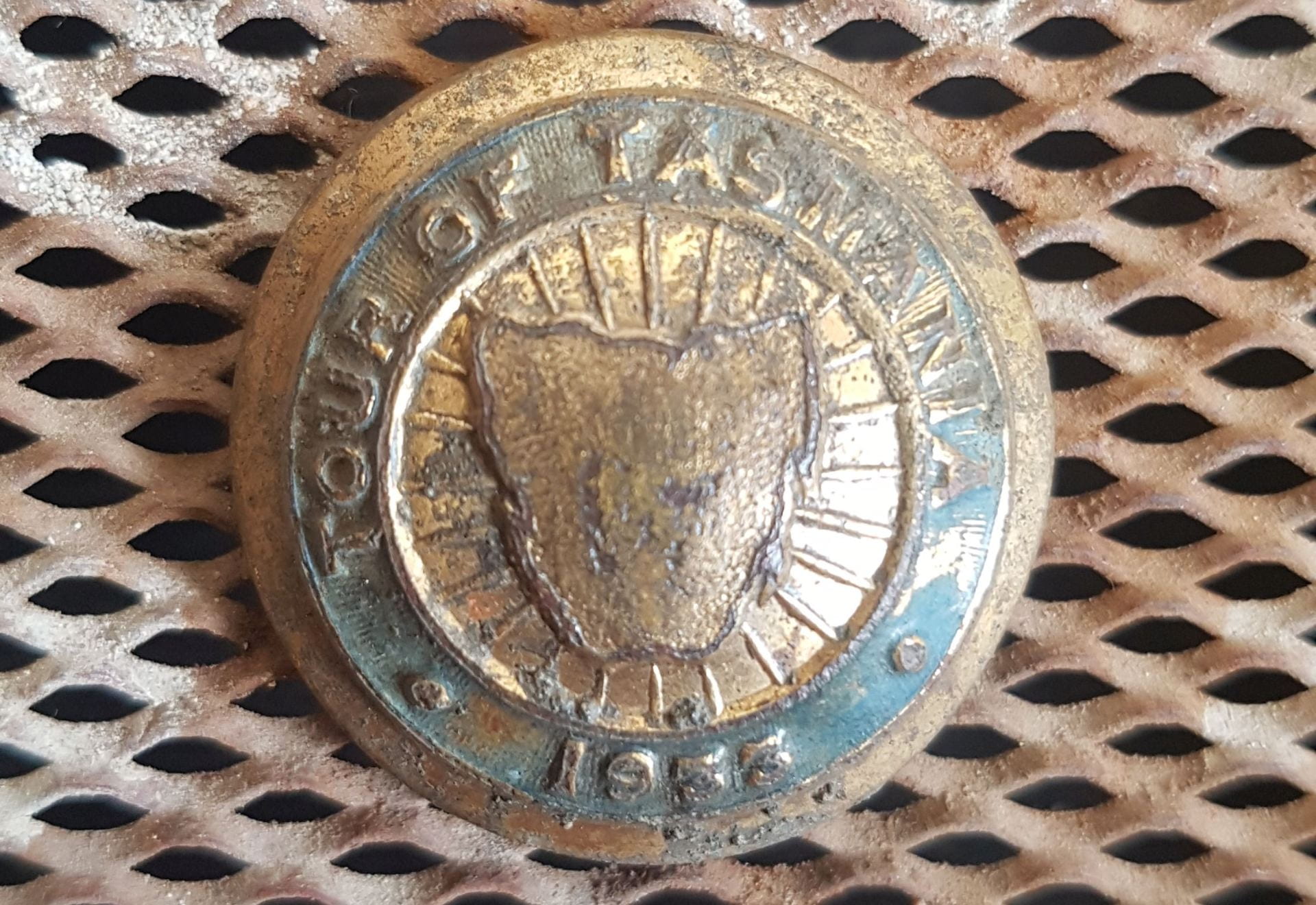
Discarded in the dirt. I wonder if somebody was having a bad Tour
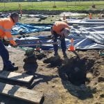
As there is more post-convict deposition than we thought (including some remnant demolition debris from the footings being robbed) we will spend the next few days excavating these. We will then have to re-photogrammetry the whole area. We’re fastidious, but the photogrammetry creates such an amazing and accurate representation of the area, that all the effort is well worth it.
Hi Richard, do you think the gift shop might have sold those trinkets? I think I might have collected one of those on my honeymoon – and a life sentence without parole to the ball and chain!
Goodness Jonathon – that badge was from the 1930s. You are venerable aren’t you.