AARSC BLOG

  • About AARSC
  • Research
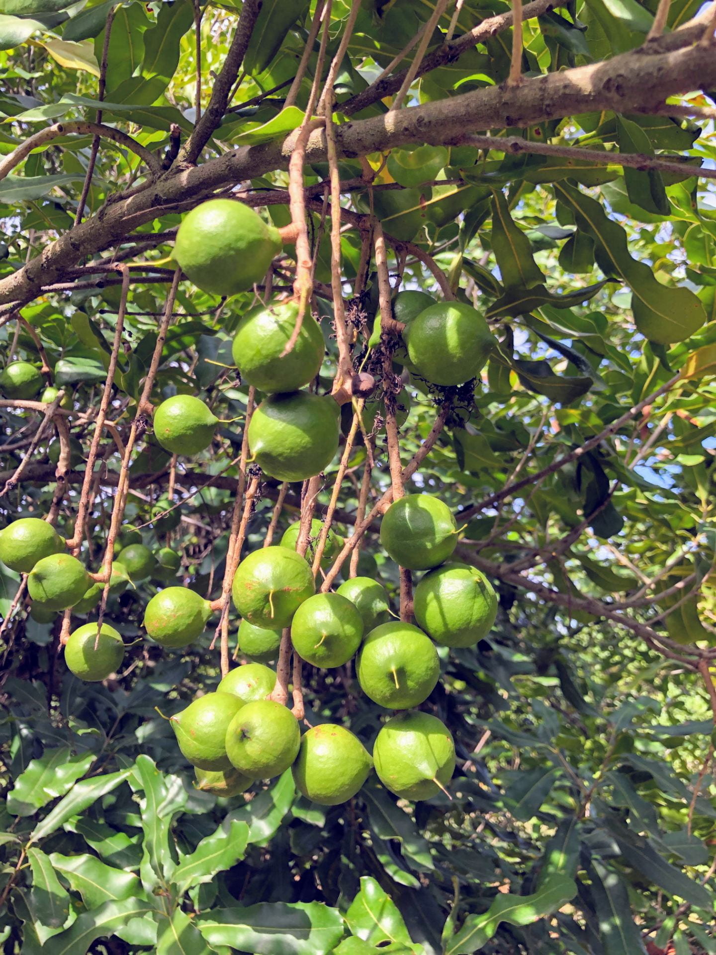
Turning to the sky: satellite imagery now used to predict farm level yields on macadamia orchards

Turning to the sky: satellite imagery now used to predict farm level yields on macadamia orchards

by AARSC | Mar 9, 2022 | Research

Getting an accurate forecast of the annual macadamia harvest has long been on the wish list for both farmers and the burgeoning macadamia industry itself, but it has been notoriously difficult to accurately predict. New research could be changing that, writes Bronwyn...

Recent Posts

  • AARSC wins at the Earth Observation Australia Inc. Awards 2022!
  • New UNE remote sensing short course now being delivered globally
  • Crop mapping technologies sought in South Africa
  • AARSC’s yield forecasting tools are being employed by the Costa Group.
  • Satellites recruited to inform canola harvests

Recent Comments

    Archives

    • August 2022
    • June 2022
    • April 2022
    • March 2022
    • February 2022
    • October 2021
    • September 2021
    • August 2021

    Categories

    • Research

    Meta

    • Log in
    • Entries RSS
    • Comments RSS
    • UNE Blogs
    • Facebook
    • X
    • Instagram
    • RSS
    CRICOS Provider Number: 00003G | TEQSA Provider Code: PRV12054 Australian University | ABN: 75 792 454 315 | © University of New England, 2025